

Owners
weighing sale, retention or development.
Valuation
Inheritance and transactions
Supporting services
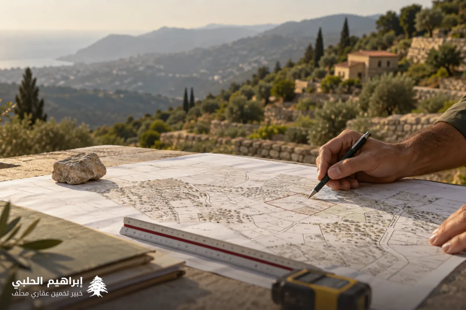
Land valuation in Lebanon based on location, area, shape, road frontage, gradient, planning status and development potential — not a single headline price per square metre.
Assessing the value of a plot — built or unbuilt — through its actual characteristics, planning status, development potential and surrounding market.
Who arrives at this service, and what each of them needs from it.
weighing sale, retention or development.

before committing to a plot.

dividing an estate that includes land.

testing a project.

assessing land offered as security.
The situations this kind of file is usually asked for in.
Before a sale or purchase.
In inheritance and division.
In a dispute or court case.
When testing a development project.
For a bank or security file.
To value company assets.
Before farz or damm, to establish whether the procedure is worth its cost.
Each type carries its own documents and its own approach, settled when the file is reviewed.
Unbuilt plots
Plots with an existing building
Land inside a planning zone
Land away from urban centres
Agricultural land
Jointly owned or inherited land
Land held for development
Land offered as security
Sale? Inheritance? Court? Bank? The purpose determines the report's scope and form, and is agreed before work starts.
Confirming the property's identity, ownership, area and registered charges, and identifying what is missing.
Visiting the property and recording what no document shows: actual condition, surroundings, access, current use.
Testing the evidence against the market and comparable properties, choosing the approach that fits the property type and the quality of the data.
A full record of the property, purpose, sources, methodology, assumptions, and the conclusion with its date.
A reference list, not a precondition. Send what you have; what is missing is identified at review.
An extract from the Land Registry showing ownership and any registered charges.
To establish boundaries, area, shape and the relationship to the surrounding roads.
Planning information and development ratios, which determine what can be built and how.
The surrounding roads, rights of way, and any easement registered against the property.
The building permit or its equivalent, establishing the legal standing of what is built.
Any earlier study or scheme drawings prepared for the property.
A report identifying the plot precisely, describing its location, surroundings and technical characteristics, setting out its planning status and how that bears on value, and presenting the approach, the comparables, the conclusion and its date.
Value is tied to its valuation date and stated purpose. Land is particularly sensitive to changes in planning, infrastructure, and the direction a district is developing in.
The file is reviewed first: documents required, scope of work, expected timeframe. No fee is quoted before that.